CALS (Computer Aided Land Survey) in Civil 3D: points, Total Station, LiDAR and DEM surfaces, contours, watershed, earthwork, parcels.
Talk to our counsellor — choose the right course, batch time and mode.
Join at a CADD centre near you or online. You get your student login and ID card.
24 Hours of hands-on CALS (Computer Aided Land Survey) Using Civil 3D classes — in the classroom or live online.
Exercises in every class and a final project, checked by your trainer.
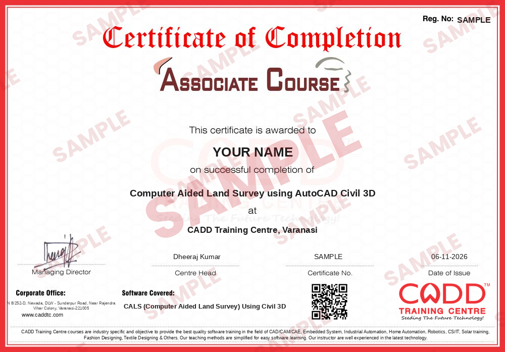
Finish the course and get your course-completion certificate and a digital completion badge with your name.
Take the certification exam: a theory test and a practical task — at the centre or online.
Pass the exam and get the certified certificate with your marksheet. Anyone can check it online with its QR code.
Your certified badge — add it to LinkedIn and share it anywhere; it opens its own verify page.
Make your CV in your student panel (Career → My CV) — your course, certificates and projects are added for you. Send it as a link with a preview picture, and apply to jobs and Hire Me requests from companies.
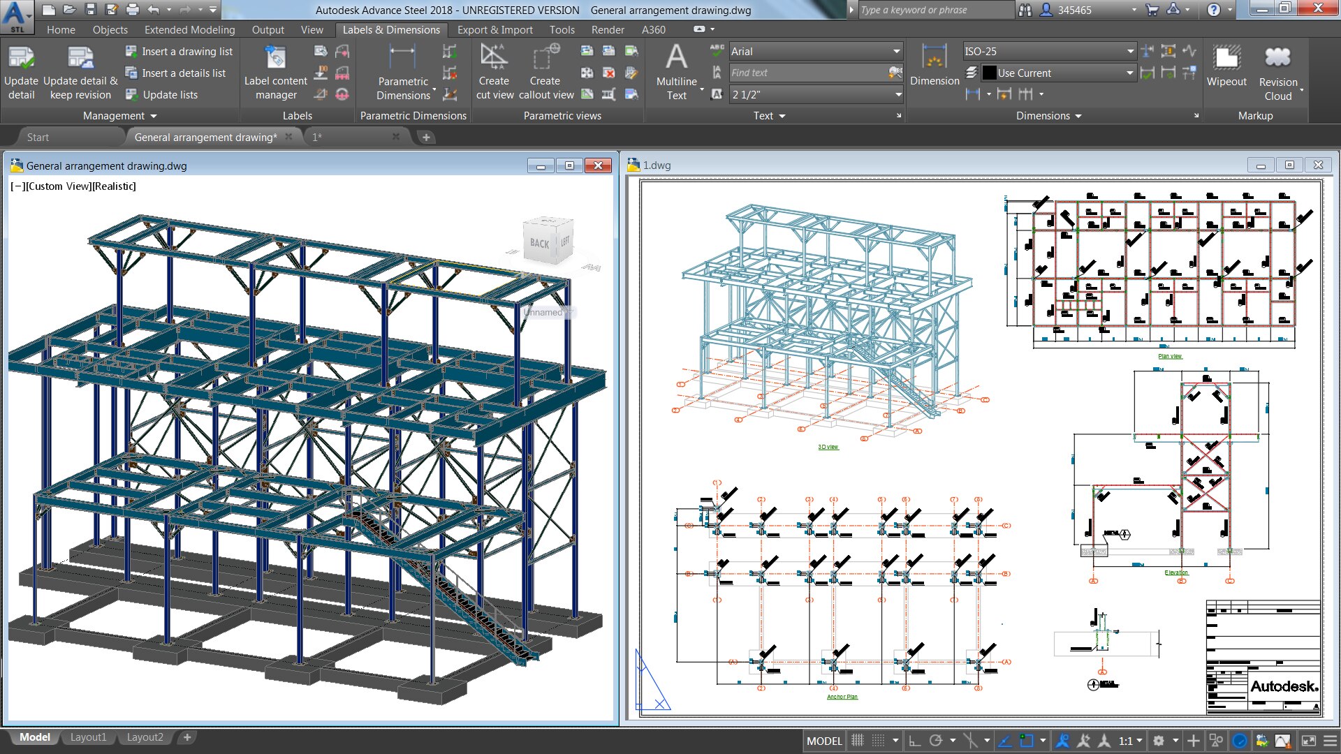
CALS (Computer Aided Land Survey) is a short, survey-focused course built on Autodesk Civil 3D, the civil engineering design and documentation software used by survey firms, highway and land-development consultants and municipal engineering departments. In survey work Civil 3D turns field data into points, terrain surfaces, contours, plot boundaries and quantity reports.
In this 24-hour course you work on real survey data from the first session. You create and import points from Excel, Total Station files and AutoCAD drawings, organise them with styles and point groups, and build surfaces from survey data, LiDAR, Google Earth and DEM. You then analyse the surface — user-defined contours, elevation, slope arrows, watershed, water drop and catchment areas — calculate cut and fill volumes, create grading surfaces and profile views, and finish with a site layout of parcels, right of way (ROW) and area tables. Classes are hands-on, in the classroom at CADD centres or live online.
The course suits students and professionals heading for roles such as survey CAD draughtsman, office surveyor or junior civil design engineer. To go further, continue with the full AutoCAD Civil 3D course for alignments, corridors and road design.
Students rate the course after they finish it — their ratings appear here.
CALS (Computer Aided Land Survey) teaches land survey work in Autodesk Civil 3D: survey points, surfaces from Total Station, LiDAR, Google Earth and DEM data, contours and surface analysis, cut and fill volumes, grading, profile views and parcel layouts.
CALS stands for Computer Aided Land Survey. At CADD Training Centre it is taught using Autodesk Civil 3D, so you learn the survey-related part of Civil 3D in a short course.
Yes, basic AutoCAD 2D knowledge is expected because Civil 3D runs on the AutoCAD platform. If you are new to CAD, take AutoCAD 2D first and then join this course.
This course is 24 hours long and focuses only on survey and land-development tasks, so you reach practical output quickly.
Both are available. In live online CALS using Civil 3D classes the trainer shares the screen and checks the survey drawing you build on your PC, and classroom batches at CADD centres follow the same plan.
Yes. CALS using Civil 3D learners receive a CADD Training Centre certificate at the end. Show it to a survey firm, who can confirm it online through the QR code.
Survey CAD draughtsman, office surveyor, land-development technician and junior civil design engineer roles in survey firms, road consultants and real estate projects. We also offer career guidance and placement support.
Yes. Civil 3D imports point files exported from total stations and GPS receivers in formats such as PNEZD or CSV, and this course shows how to bring that data in correctly.
More questions? Ask our counsellor or read the general FAQ.