
Learn ArcGIS Pro for GIS: data, projections, digitising, attribute tables, spatial analysis and map layouts.
Talk to our counsellor — choose the right course, batch time and mode.
Join at a CADD centre near you or online. You get your student login and ID card.
60 Hours of hands-on ArcGIS classes — in the classroom or live online.
Exercises in every class and a final project, checked by your trainer.
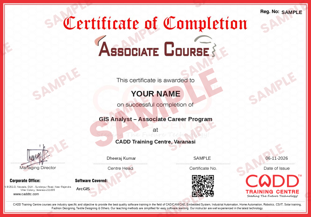
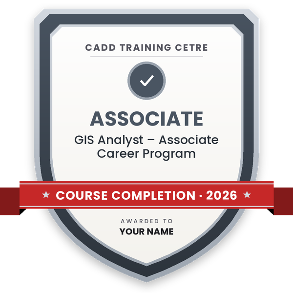
Finish the course and get your course-completion certificate and a digital completion badge with your name.
Take the certification exam: a theory test and a practical task — at the centre or online.
Pass the exam and get the certified certificate with your marksheet. Anyone can check it online with its QR code.
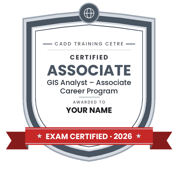
Your certified badge — add it to LinkedIn and share it anywhere; it opens its own verify page.
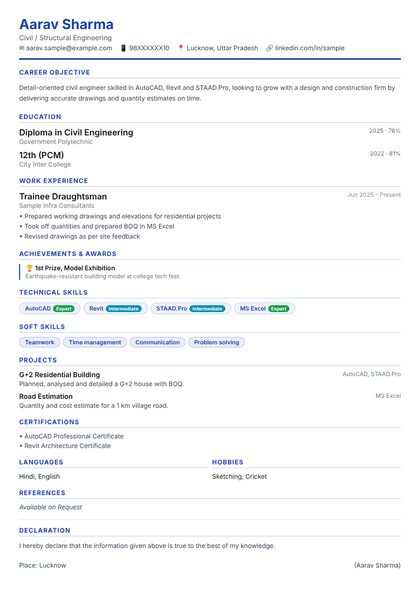
Make your CV in your student panel (Career → My CV) — your course, certificates and projects are added for you. Send it as a link with a preview picture, and apply to jobs and Hire Me requests from companies.
ArcGIS, from Esri, is a geographic information system (GIS) platform used to create, manage, analyse and map location-based data. Town planners, civil and environmental engineers, surveyors, forestry and agriculture departments, utilities, disaster management teams and researchers use it to study land use, plan infrastructure, manage assets and present spatial information on clear, accurate maps.
This ArcGIS course is taught on ArcGIS Pro, Esri's current desktop GIS application. You learn GIS concepts and coordinate systems, how to add and manage vector and raster data, georeference scanned maps, digitise features, edit attribute tables, run queries and geoprocessing tools such as buffer, clip, intersect and dissolve, work with elevation data, and design professional map layouts. Practice is hands-on on the software with real-style datasets, in the classroom at a CADD centre or in live online classes; the counsellor will share the hours of your programme.
GIS skills help in roles such as GIS analyst, GIS technician, mapping executive and urban planning assistant, and pair well with AutoCAD Map 3D or Civil 3D.
Students rate the course after they finish it — their ratings appear here.
ArcGIS is used to collect, manage, analyse and map location data. It is used in town planning, infrastructure, land records, forestry, agriculture, utilities, environment studies and disaster management.
Civil engineering, geography, geology, planning and environmental science students can learn it, along with surveyors and working professionals. Basic computer skills and comfort with maps are enough.
The duration depends on the GIS programme you choose, for example a stand-alone ArcGIS course or a combined GIS and CAD programme. The counsellor will share the details.
Both are available. In live online ArcGIS classes you work through each dataset in ArcGIS Pro on your Windows PC with the trainer, and classroom batches at CADD centres follow the same plan.
Yes. ArcGIS learners receive a CADD Training Centre certificate at the end. Show it to a GIS or planning agency, who can confirm it online through the QR code.
ArcGIS helps in roles such as GIS analyst, GIS technician, mapping executive, GIS data operator and planning assistant with consultancies, survey firms, utilities and government projects.
ArcMap was Esri's older desktop GIS. ArcGIS Pro is its modern replacement with a ribbon interface, 2D and 3D in one project and better performance, so this course teaches ArcGIS Pro.
AutoCAD draws precise geometry for design. GIS links geometry to attribute data and real-world coordinates so you can query and analyse it, for example finding all plots within 500 m of a road.
More questions? Ask our counsellor or read the general FAQ.






_010624043919987427.png)